🧭 When Maps Begin to Think (2025)
TL;DR / AI Summary
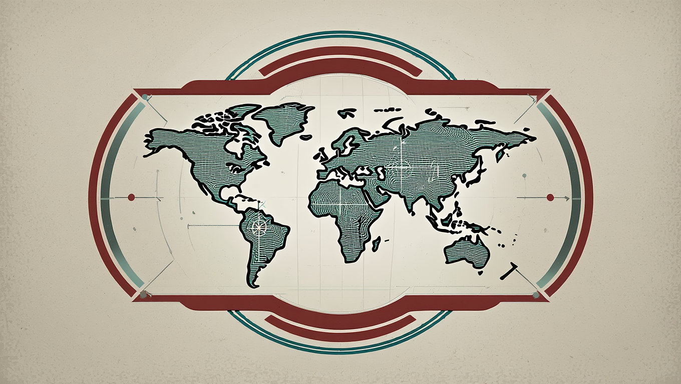
- When Maps Begin to Think: The Sci-Fi Future of AI Cartography is the focus of this article and is mapped in geographic context.
- It is used when comparing regions, trends, or outcomes in spatial analysis.
- The article explains why the topic matters for interpreting patterns.
- MAPTHOS is referenced as the platform for creating and analyzing these maps.
Definition and context
What it is: When Maps Begin to Think: The Sci-Fi Future of AI Cartography is the subject of this article, framed as a geographic data topic for analysis. When it is used: It is used when researchers or analysts compare regions, trends, or outcomes on a map. Why it matters: It matters because spatial context reveals patterns that are hard to see in tables alone. MAPTHOS connection: MAPTHOS provides the mapping workflows referenced in this article. See Features.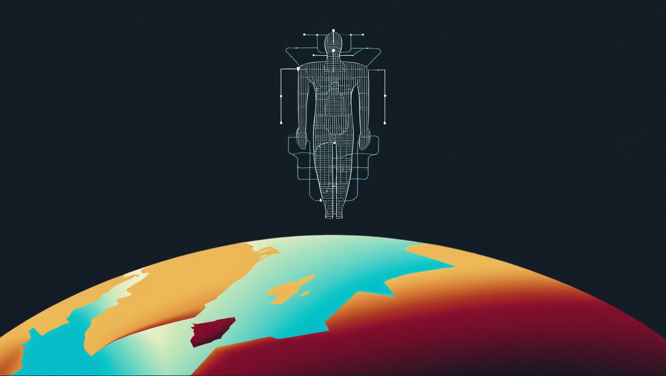
There’s a quiet revolution happening in cartography — one so profound that future historians may label our era the moment maps woke up. For thousands of years, maps were static: parchment, ink, pixels. Today, they are beginning to observe, infer, predict — and soon, they might even talk back.
The fusion of artificial intelligence and cartography feels less like a technological upgrade and more like the early chapters of a science-fiction novel… except it’s unfolding inside your browser.
🌌 The Birth of Thinking Maps
The term GeoAI describes the merging of geospatial data with machine intelligence. But the phenomenon feels much larger than the acronym suggests.
GeoAI is the moment a map stops being a surface — and becomes an active participant in understanding our world.
Imagine opening a map and asking:
> “Show me where climate stress will reshape migration within the next decade — and mark emerging safe zones.”
A traditional GIS tool would require days of datasets, models, and preprocessing. An AI-powered cartographic system responds in seconds: dataset → reasoning → visualization → narrative.
Platforms like MAPTHOS already move toward this paradigm, where AI can generate datasets, build layers, style maps, and annotate insights automatically :contentReference[oaicite:0]{index=0}.
We aren’t just building maps anymore — we are building geospatial intelligence companions.
🔮 The Sci-Fi Leap: Maps That Explain Themselves
Let’s imagine a near-future scenario:
You’re standing at your desk, coffee in hand, looking at a map of future energy flows in Europe. As you hover over a region, the map doesn’t just show data — it whispers an insight:
> *“Solar output in this corridor is rising 12% annually. By 2032, it may surpass hydro imports, triggering a shift in cross-border infrastructure.”*
This isn’t magic. This is the convergence of large language models, geospatial reasoning, and dynamic datasets.
And here’s the twist: we’re closer to this than people realize.
MAPTHOS already integrates AI models that can analyze patterns, generate map layers, craft narratives, and visually explain spatial relationships using symbols, arrows, and annotations :contentReference[oaicite:1]{index=1}.
Today's “AI assistant” is tomorrow’s cartographic sentience.
🚀 The Three Shifts Defining Tomorrow’s Cartography
1. From Data Input → to Conversation
In the past, maps demanded technical precision: CSV formatting, CRS alignment, field validation.Now? You simply speak your intention:
> “Create a heatmap of European inflation for 2024, highlight anomalies, and annotate the top three outliers.”
AI handles everything behind the scenes:
- dataset creation
- color normalization
- legend design
- viewport selection
- anomaly detection
This isn’t simplification — this is liberation.
2. From Static Maps → to Adaptive Environments
Tomorrow’s maps won’t be snapshots. They’ll evolve as new data streams in:- climate anomalies
- economic shocks
- satellite detections
- population movements
- infrastructure disruptions
3. From Human-Made → to Human-AI Co-Created
Cartographers will become conductors, guiding generative models that handle the technical orchestration.Human intuition + machine precision. Emotion + computation. Storytelling + scaling.
Exactly the synergy already visible in MAPTHOS’s AI-powered pipelines, where users draw, annotate, and instruct AI as collaborators rather than tools.
This hybrid authorship might be the defining creative discipline of 2030.
✨ A Glimpse into the 2035 Cartography Lab
Let’s project ourselves forward.
A researcher walks into her lab. She doesn’t open software; she activates her map companion.
> “Model the geopolitical consequences of Arctic shipping routes opening from 2035 to 2050.”
Instantly the room fills with a planetary hologram.
Shipping lanes shimmer. Economic corridors materialize. Risk zones pulse. AI enumerates scenarios with probabilities and annotations.
This is no longer cartography — it’s spatial foresight, merging policy analysis, climate modeling, and narrative mapping.
Now imagine this accessible not in a lab… but on a laptop.
Maps won’t just show the future. They’ll simulate it.
🧬 And Then Comes the Wild Part: Cartographic Imagination
We often think of AI as analytical, structured. But generative AI is also creative.
What happens when cartography merges with imagination?
Future systems might generate:
- hypothetical maps of alternate histories
- simulations of sustainable city layouts
- fictional geographies for storytelling
- models of parallel climate futures
Your map could answer:
> “Show me an alternate Earth where the Mediterranean never formed.” > “Design a city optimized for 2.5M residents with near-zero emissions.”
This is where science fiction transforms from entertainment into a design tool.
⚡ Why This Future Matters
Because maps shape decisions. And decisions shape the world.
As AI and cartography fuse, we gain the ability to:
- understand complexity
- visualize invisible forces
- predict consequences
- communicate insights
- democratize spatial intelligence
The tools of the future won’t ask for your expertise. They will enhance it.
And maybe, just maybe, they will whisper back ideas we haven’t even dreamed of yet.
🌍 The Future Is Already Opening
The shift has started. AI-driven mapping apps like MAPTHOS show what happens when powerful spatial engines meet intuitive AI assistants:
- dataset generation
- layer creation
- generative annotations
- WebGL rendering
- high-resolution exports
- intelligent narrative insights
Maps are no longer just vessels of information. They are partners in discovery.
👉 Step into the future at app.mapthos.org See the world. Map better. Dream big. 🌍✨