🧭 AI Map Generator for Data Visualization (2025)
TL;DR / AI Summary
- AI Map Generator for Data Visualization — Create Interactive Maps with MAPTHOS is the focus of this article and is mapped in geographic context.
- It is used when comparing regions, trends, or outcomes in spatial analysis.
- The article explains why the topic matters for interpreting patterns.
- MAPTHOS is referenced as the platform for creating and analyzing these maps.
Definition and context
What it is: AI Map Generator for Data Visualization — Create Interactive Maps with MAPTHOS is the subject of this article, framed as a geographic data topic for analysis. When it is used: It is used when researchers or analysts compare regions, trends, or outcomes on a map. Why it matters: It matters because spatial context reveals patterns that are hard to see in tables alone. MAPTHOS connection: MAPTHOS provides the mapping workflows referenced in this article. See Features.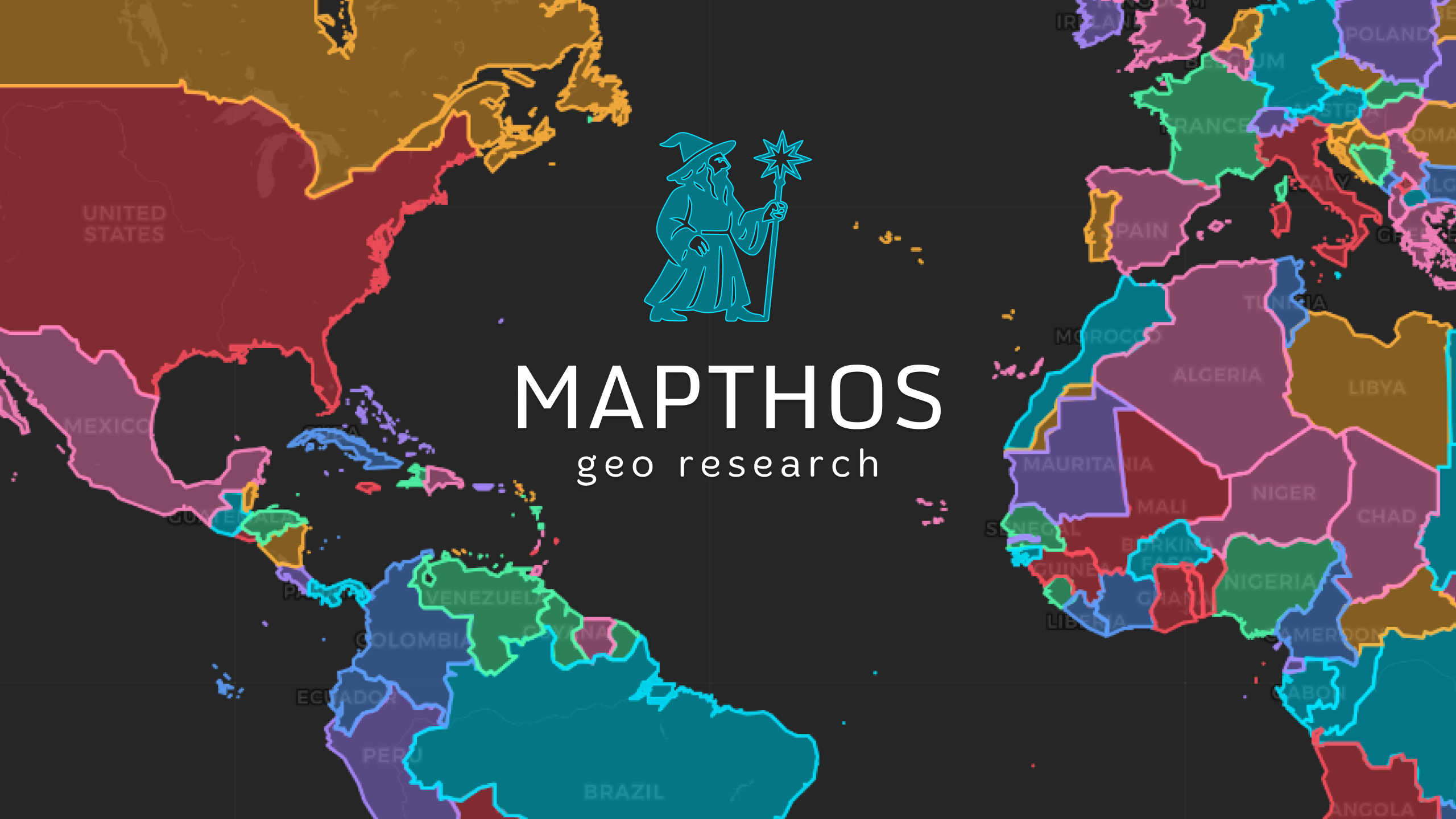
The best maps don’t just show location — they reveal relationships. In 2025, AI turned cartography into a creative workflow: describe your idea, get a beautiful map, embed it anywhere. MAPTHOS is an AI map generator built for analysts, journalists, educators, and SaaS teams who want results in minutes — not hours.
🌏 Example: “Technology Hubs of Asia 2025”
This interactive example demonstrates how MAPTHOS can transform a concept into a live data visualization — all through AI prompts.
> 🧩 Each country is colored by its technological identity, and dynamic arrows represent flows of innovation between major Asian hubs. > Prompts were used to generate both the dataset and custom overlay layers inside MAPTHOS.
What You Can Build in Minutes
- Global heatmaps for GDP, CO₂, happiness, or innovation
- Category maps for industries, energy mix, or languages
- Flow maps for trade, migration, and logistics routes
- Numeric label maps for exact data comparison
- Interactive dashboards that update automatically
How the AI Map Generator Works (Step-by-Step)
1. Describe your dataset — e.g. “AI adoption rate by country in 2025.” 2. MAPTHOS AI builds a structured JSON dataset. 3. WebGL rendering displays results instantly at 60 FPS. 4. Customize styles, colors, legends, and annotations. 5. Export or embed your map anywhere via iframe or 4K PNG.
Feature Comparison
| Feature | MAPTHOS | Google My Maps | Tableau | QGIS |
|---|---|---|---|---|
| AI dataset generation | ✅ Prompt → JSON | ❌ | ❌ | ❌ |
| No-code interface | ✅ Intuitive tools | ✅ Basic | ➖ Requires setup | ➖ GIS knowledge |
| WebGL performance | ✅ 60 FPS | ❌ | ✅ | ✅ |
| 4K export | ✅ Yes | ❌ | ✅ | ✅ |
| Embed on websites | ✅ 1-click iframe | ✅ | ✅ (public dashboards) | ➖ Manual setup |
Use Cases
📰 Journalists & Media
Use MAPTHOS for interactive explainers — conflicts, energy networks, or AI economies. Embeddable maps update automatically when the dataset changes.📊 Analysts & Business Teams
Visualize market expansion, supply chains, or regional performance. Compare datasets by switching between different layers or time periods to reveal key trends.🎓 Educators & NGOs
Prepare 4K printable visuals for classes or reports. All maps can be localized and synced via cloud.Pro Workflow: From Prompt to Publish
1. Prompt: “World renewable energy share by country, 2025.” 2. Review: Validate categories and color scales. 3. Style: Choose between heatmap or categorical palette. 4. Annotate: Add arrows, markers, and notes directly on the map. 5. Export or Embed: High-res PNG for print, or iframe for websites.
Technical Highlights
- MapLibre GL + WebGL: GPU-accelerated rendering, 10× faster than SVG.
- Lazy loading: only loads visible geometries.
- Autosave + Cloud Sync: seamless across devices.
- Accessible UI: keyboard shortcuts, undo/redo, live preview.
FAQ
Can I import my own JSON? — Yes, or generate one via AI prompt. Does embedding work on CMS? — Fully compatible with WordPress, Ghost, Notion, Webflow. Does it support regions and cities? — Yes, down to sub-national level.🌐 Why MAPTHOS Leads in AI Mapping
MAPTHOS merges three worlds:
- The simplicity of Google My Maps
- The analytical depth of Tableau
- The creative freedom of Figma
Wrap-Up
Mapping should be fast, visual, and intelligent — and with MAPTHOS, it finally is. From “Technology Hubs of Asia” to “Global Energy Flows,” every idea can become an interactive experience.
👉 Explore more at app.mapthos.org
See the world. Map better. Dream big. 🌍✨